


Seismic activity continues in Santorini, with six new tremors recorded between 05:00 and 05:36 on Thursday. According to data released by the Geodynamic Institute of the National Observatory of Athens, six light tremors were recorded in the sea area between Amorgos and Santorini (4.0-4.4 on the Richter scale).
On Wednesday, at 21:09, the strongest earthquake so far was recorded in the sea area south of Amorgos, with a magnitude of 5.2 degrees on the Richter scale, according to the Geodynamic Institute.
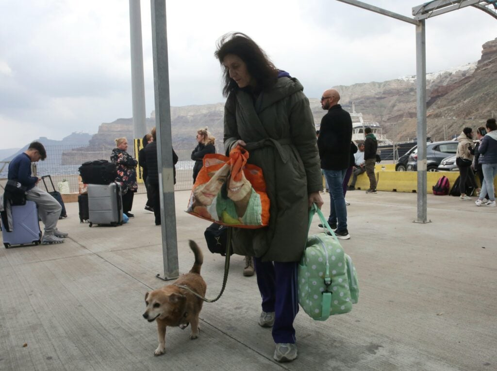
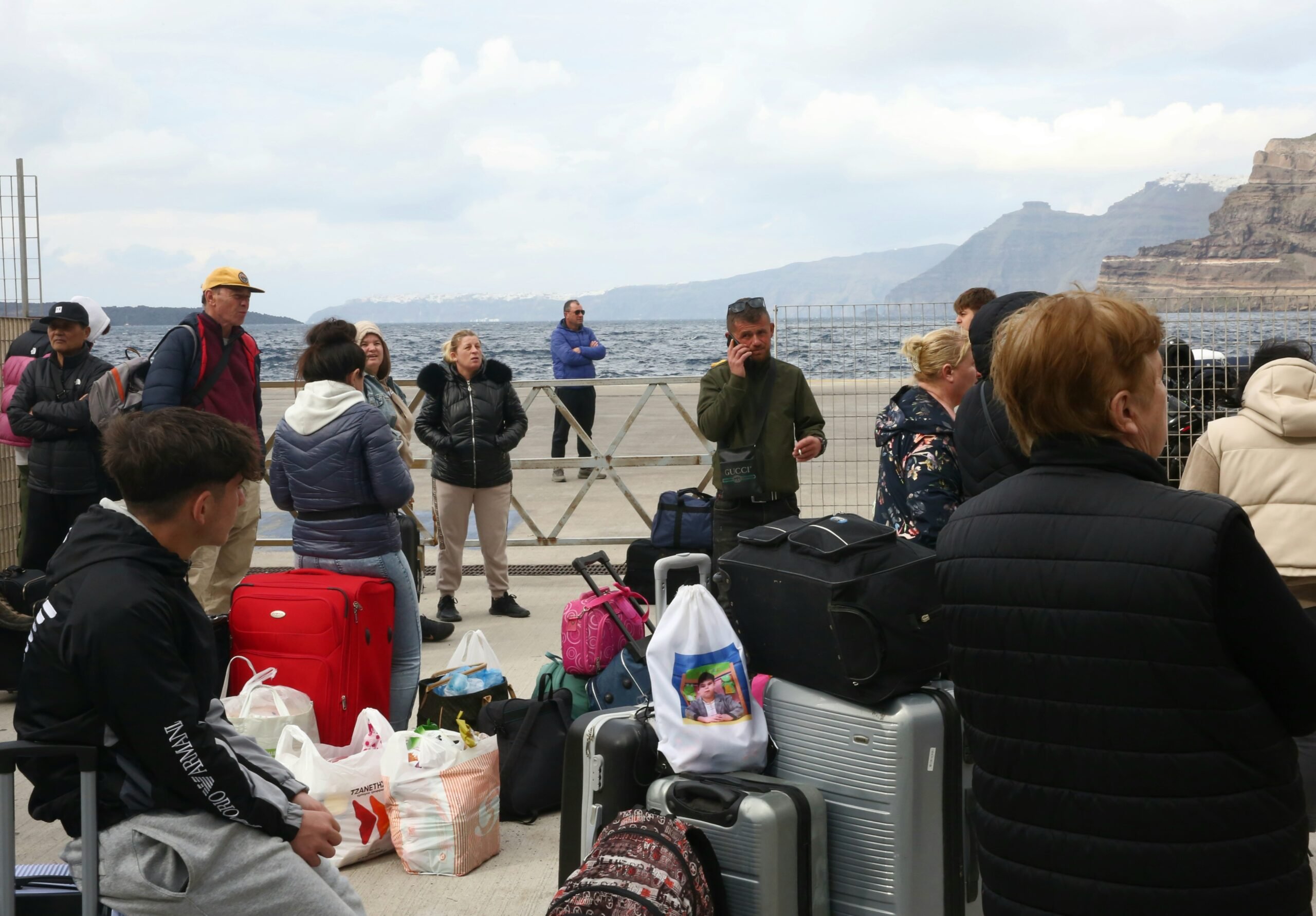
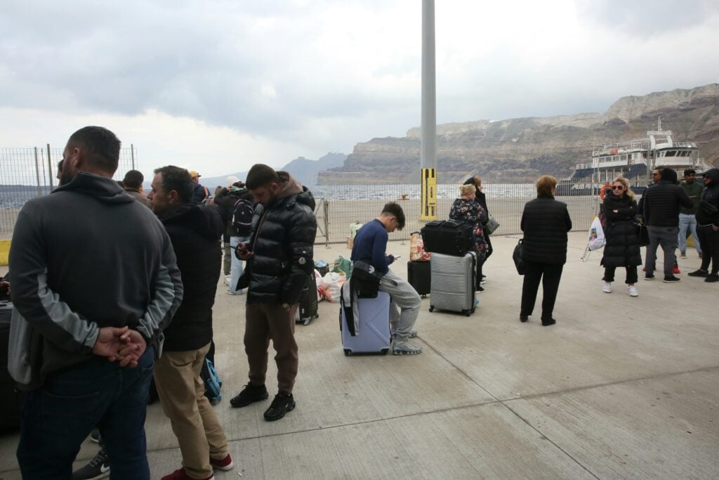
The continuous earthquakes in Santorini have led many residents and tourists to leave the island. In the photos taken by the Athens-Macedonian News Agency’s correspondent Orestis Panagiotou residents and visitors can be seen crowded in the harbour waiting for the ferry to depart. However, many have remained.
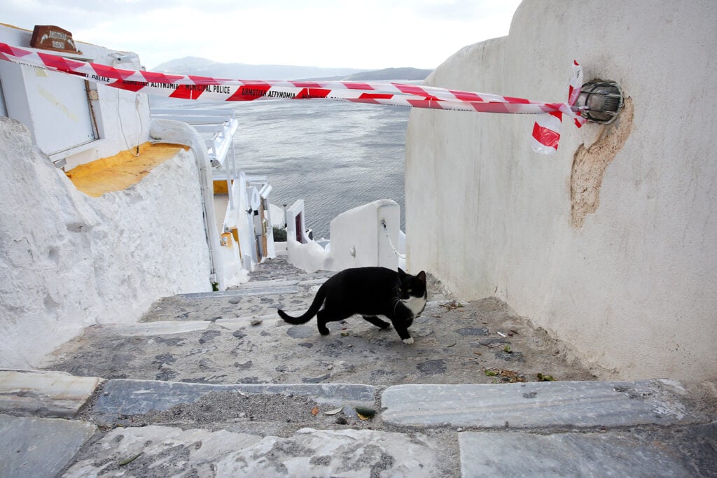
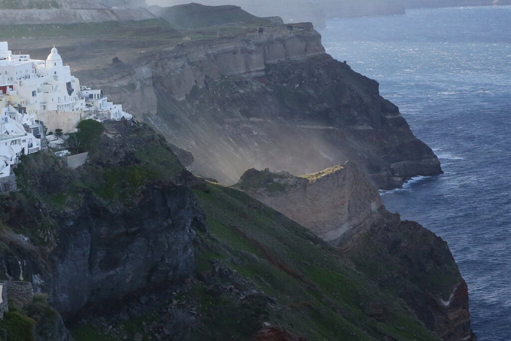
The areas of Santorini where landslides are occurring have been blocked off and citizens are not allowed access.
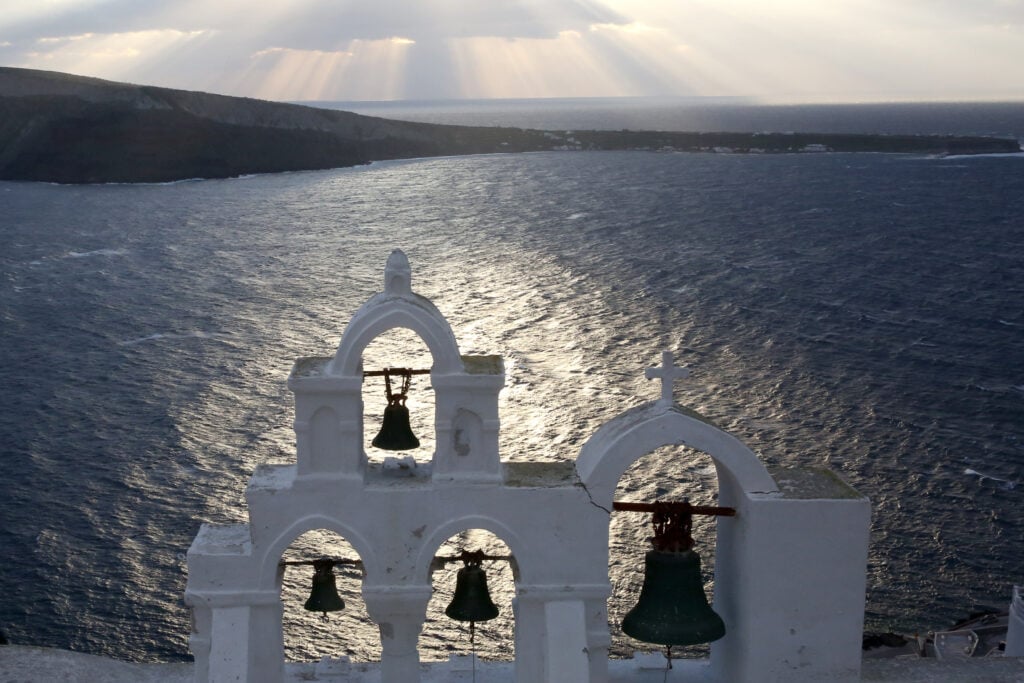
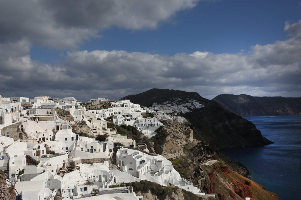
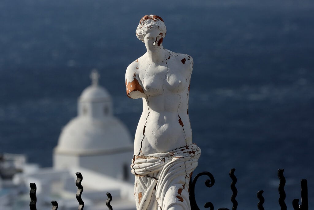
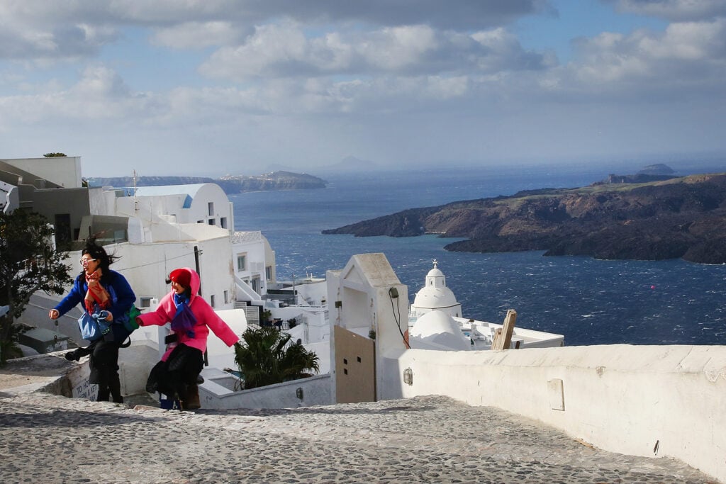
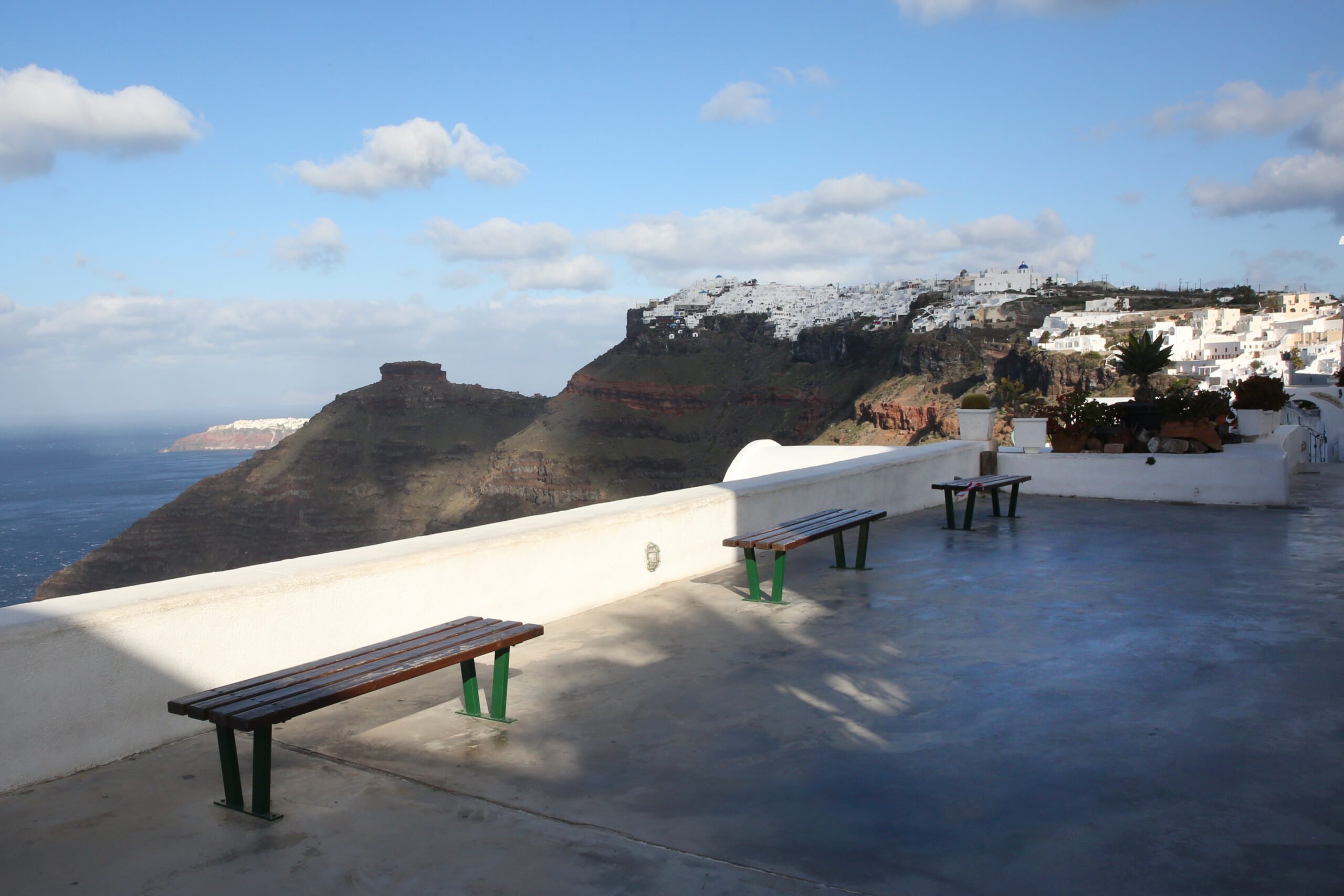
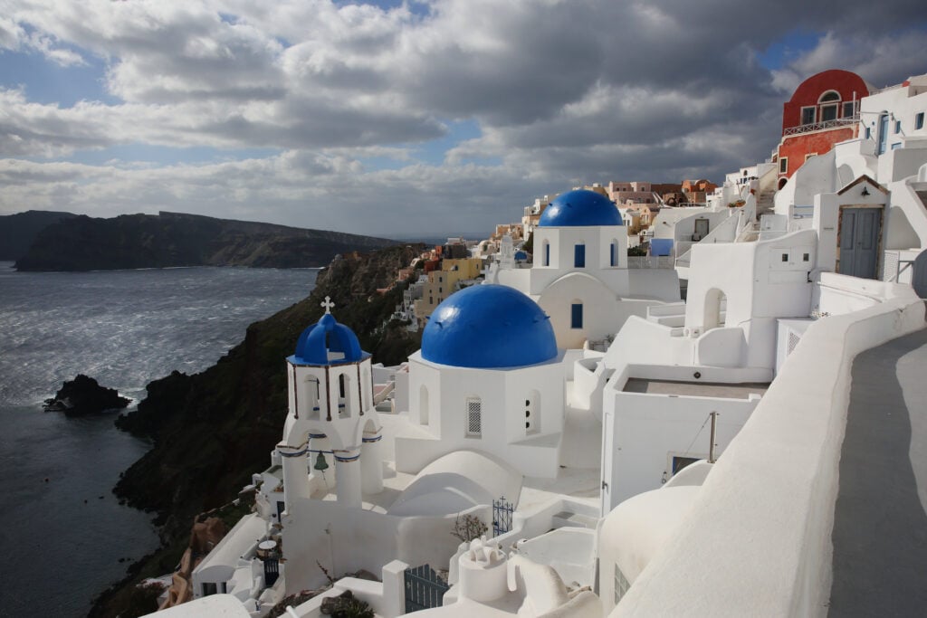
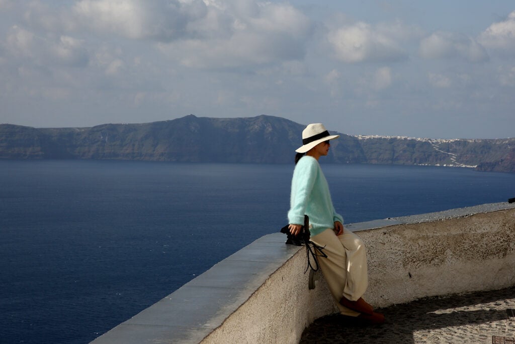
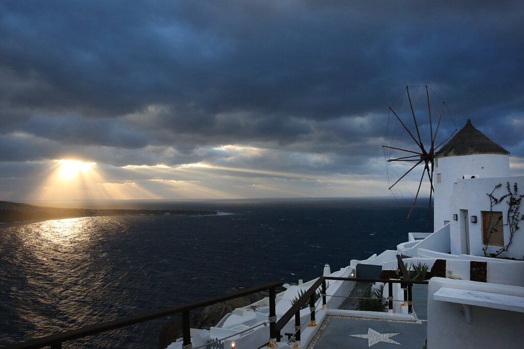
The images of Santorini’s unique natural landscape are breathtaking and the visitors who remained are photographed with a view of the Aegean.
Also read: Over 200 earthquakes in 48 hours between Santorini and Amorgos
(Photos: ANA-MPA, Orestis Panagiotou)
Source: ANA-MPA
