

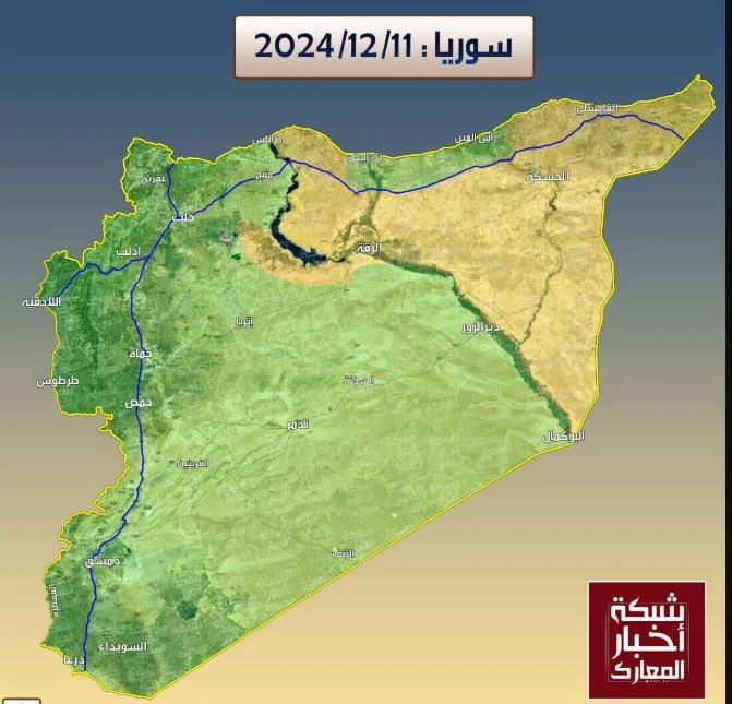
Following the rise of jihadist forces in Syria and the appointment of a new government, various maps depicting the division of the new Syria and the territorial control of the country’s main military powers have begun to circulate. Analysts are also mapping the events of recent days that led to the fall of Assad’s regime.
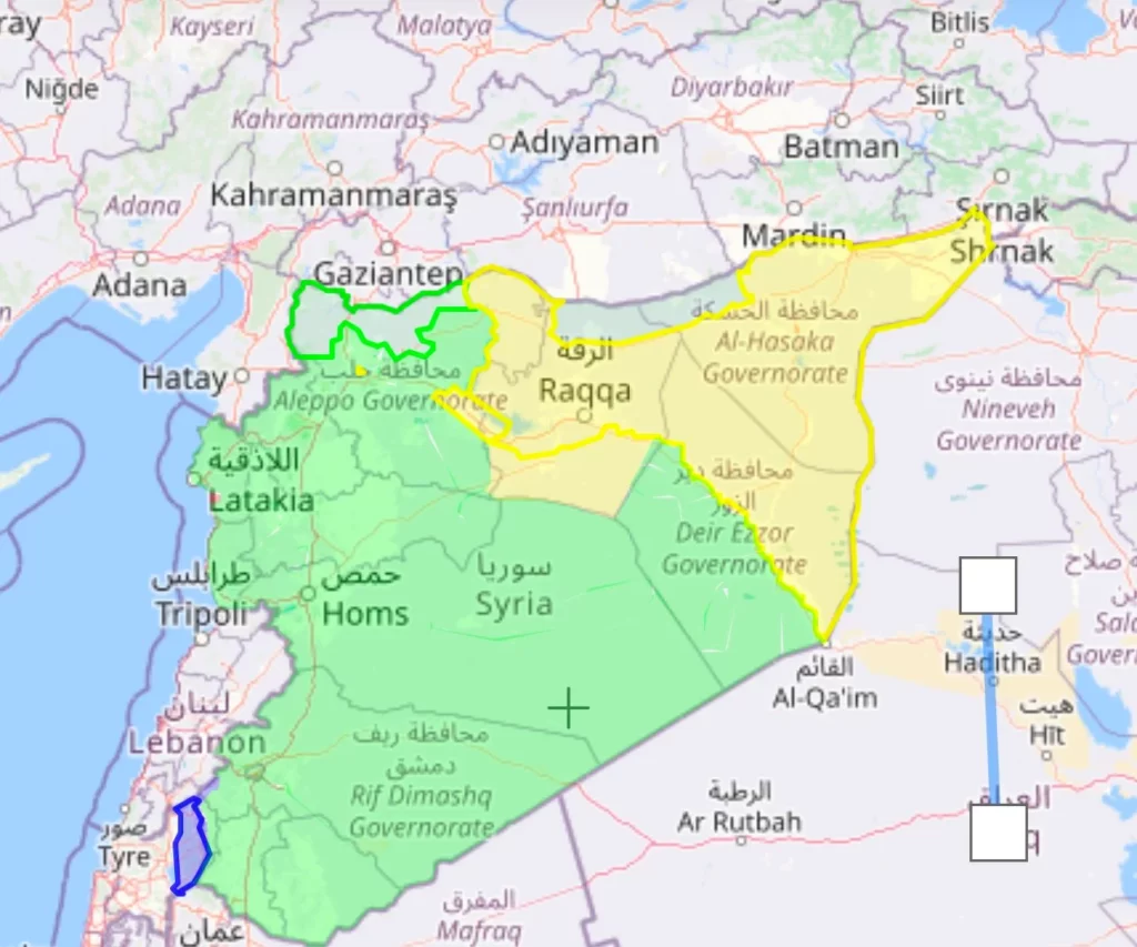
The map below is the most representative of Syria’s current control zones. Areas under the control of the interim government are marked in green, while regions controlled by the Kurdish forces of the SDF/YPG are shown in yellow.
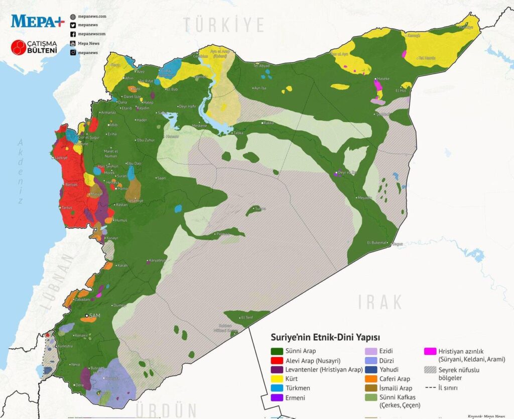
Additionally, a demographic map illustrates the population distribution across Syria’s diverse ethnic groups.
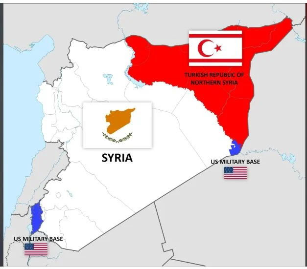
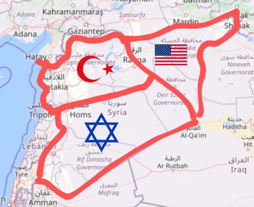
Social media users have also shared “alternative” maps of Syria, with some making references to Cyprus.
Also read: Assad, the iron-fisted leader whose family ruled Syria for 50 years
